EMS-98 vs HAZUS: which damage scale is on your map?
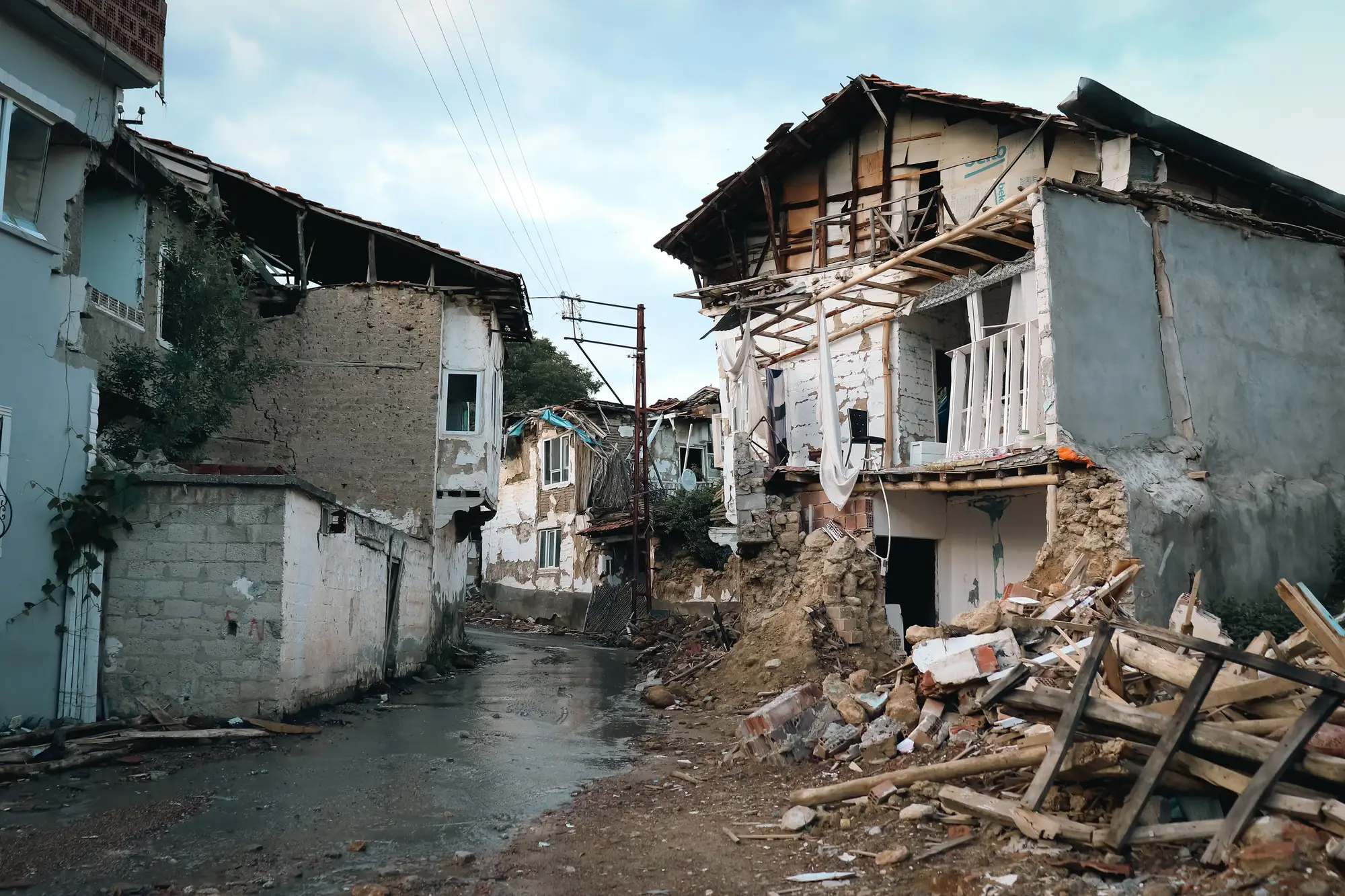
When the first damage grade map lands on your desk after a shake, the legend matters as much as the colors. Two scales show up most often in the US and internationally: EMS-98 and HAZUS. They don't score damage the same way, and if you read one scale's labels against the other's assumptions, you'll misjudge which blocks need boots on the ground first.
EMS-98 damage grade definitions
The European Macroseismic Scale, EMS-98, grades masonry and reinforced concrete buildings on a 1-to-5 scale, with separate criteria for each construction type. Grade 1 covers negligible to slight damage: hairline cracks in plaster, nothing structural. Cracks in walls and falling plaster mark Grade 2, moderate damage where the building stands and is likely repairable. Grade 3, substantial to heavy damage, brings large cracks in walls, failure of individual nonstructural elements, and partial collapse of chimneys. Serious failure of walls, plus partial structural failure of floors or roofs, defines Grade 4's very heavy damage. Grade 5 is destruction: total or near-total collapse.
EMS-98 was built for field assessors walking a street with a clipboard, so the grade descriptions read like a visual checklist, close to what a person would see standing in front of the building. That's useful for a coordinator because the grade tells you not just "how bad" but roughly what kind of hazard a search team would walk into. A Grade 3 building might still have a safe interior path. A Grade 5 building is a recovery operation, not a search operation, and your team composition should reflect that before anyone drives out.
HAZUS damage states
HAZUS, FEMA's loss-estimation methodology, uses a different vocabulary: none, slight, moderate, extensive, complete. It was built to feed probabilistic loss models, not to walk a street with. The damage states attach to structural and nonstructural components separately, and HAZUS often works from modeled fragility curves tied to building type and shaking intensity rather than a visual read of the facade. Complete damage in HAZUS terms usually implies loss of the structure's ability to resist further loading. It overlaps with EMS-98 Grade 5 in practice but was derived from a different pipeline: engineering judgment and regional construction inventories, not a post-event street survey.
The result is two scales that describe the same physical reality in different sentences. A HAZUS "extensive" damage state and an EMS-98 Grade 4 will usually point at the same building, but the thresholds behind each label were set by different committees for different purposes, one for triage in the field, one for aggregate loss estimates across a region.
Reading a grade map against triage priorities
For a coordinator deciding where to send search-and-rescue teams in the first 48 hours, the scale behind the map changes how you read it. If your map comes from a field survey using EMS-98, you're looking at assessor judgment on individual structures, grade by grade. If it's HAZUS output, you're looking at modeled estimates aggregated at the census-block or site level, useful for shelter planning and resource staging but not a substitute for a per-structure read.
Neither scale tells you which grade came from which method unless the map says so. Before you commit a team to a block, check whether the legend is describing what someone actually observed or what a model predicted the shaking would produce. A map with a dated capture time and a visible grade per footprint, like the output in a structure-by-structure damage grade map drawn straight from post-event imagery, answers that question up front: every grade on it traces back to a specific structure at a specific time, not a modeled average for a census block.
Either scale works once you know which one is under the colors on your map. What you can't do is mix them silently, call a HAZUS "extensive" the same as an EMS-98 Grade 4 on a resource allocation sheet, and expect your team leads to read it the same way twice.
If your area doesn't have anyone walking the street yet, Building Damage Classification puts a graded, dated read on every structure in the affected zone as soon as imagery comes in, so your first dispatch decisions don't wait on a ground survey.