Blog
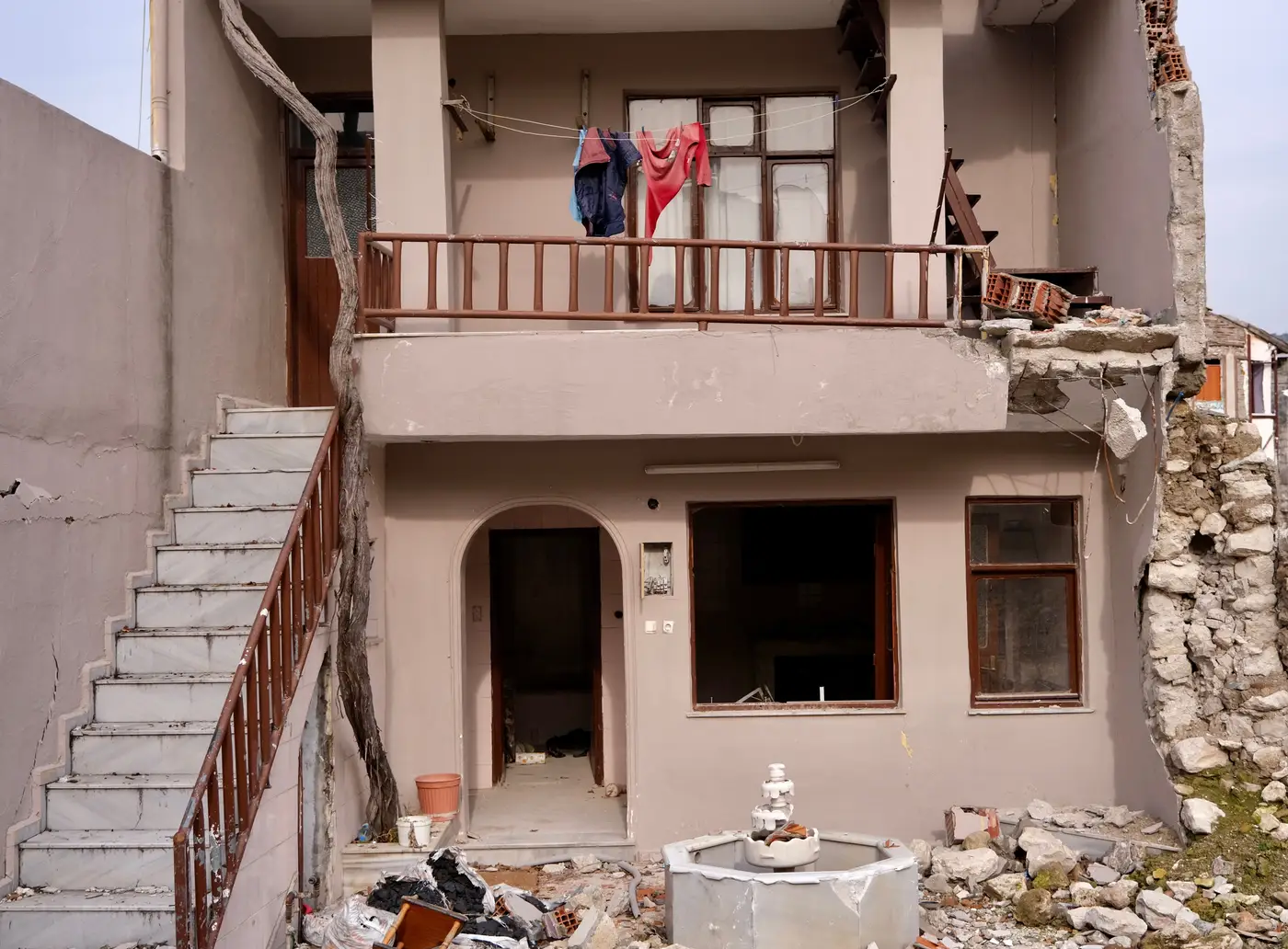
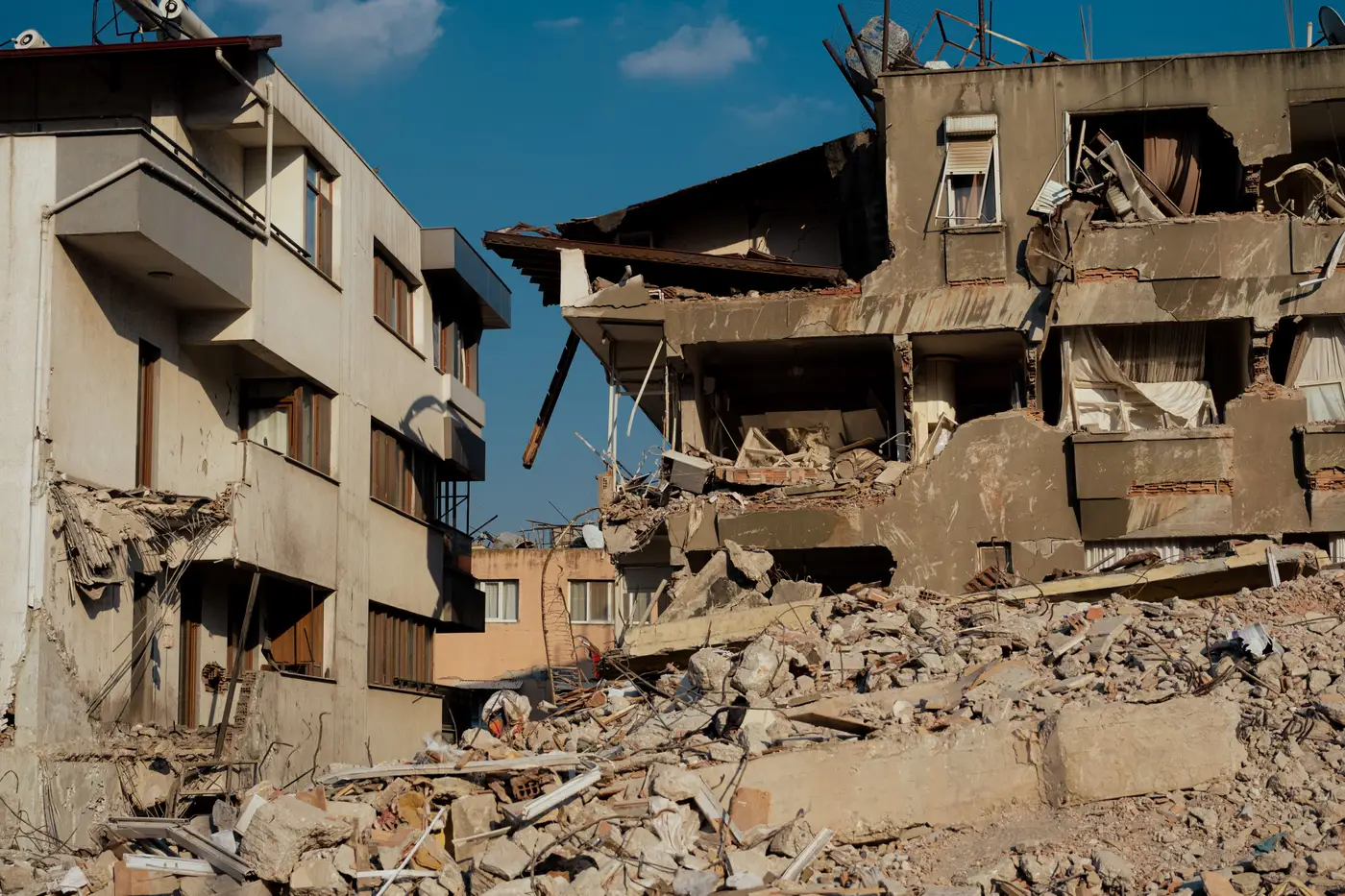 Field notes: the block that looked fine from the street and graded red from above
Why a windshield survey can miss the collapse that an overhead read catches first, and what that means for triage order.
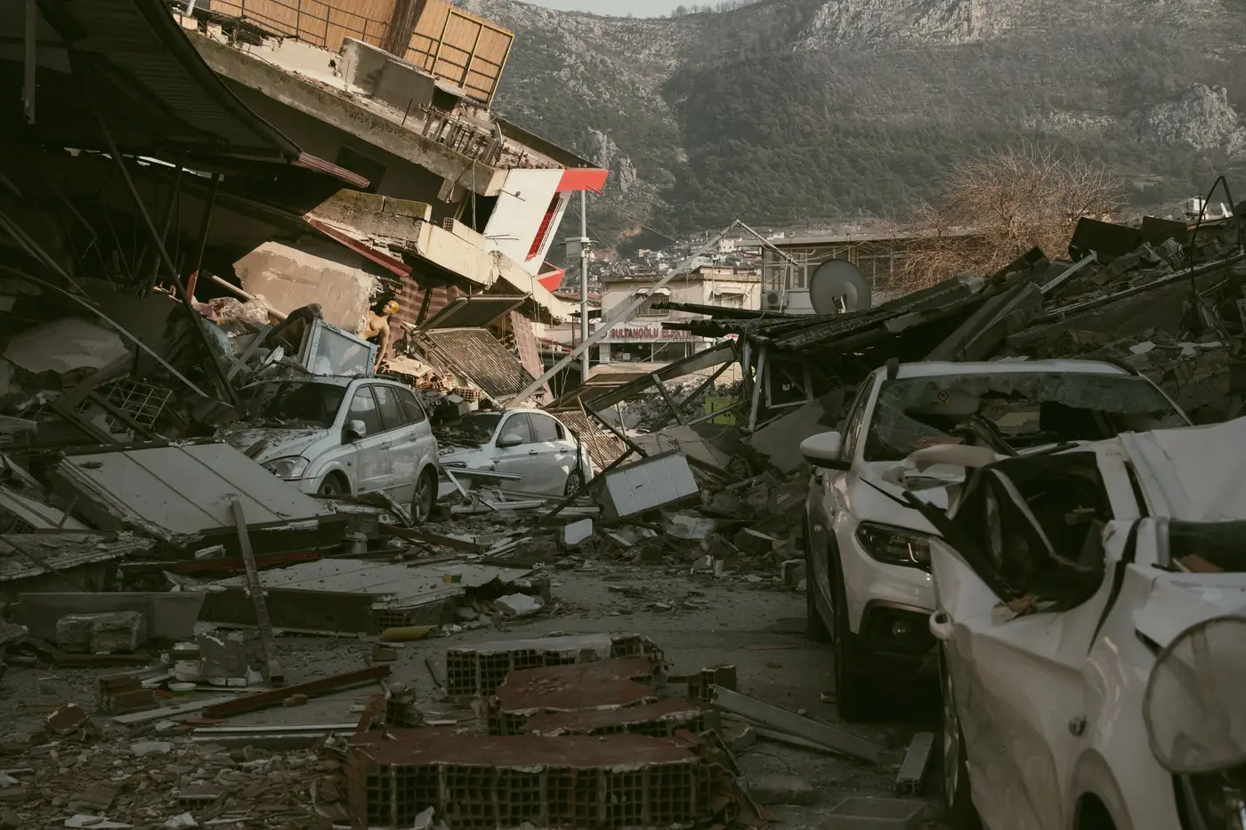 How to brief an incident commander using a building damage grade map
A practical order of operations for walking an incident commander through a building damage grade map at the first EOC briefing after an earthquake.
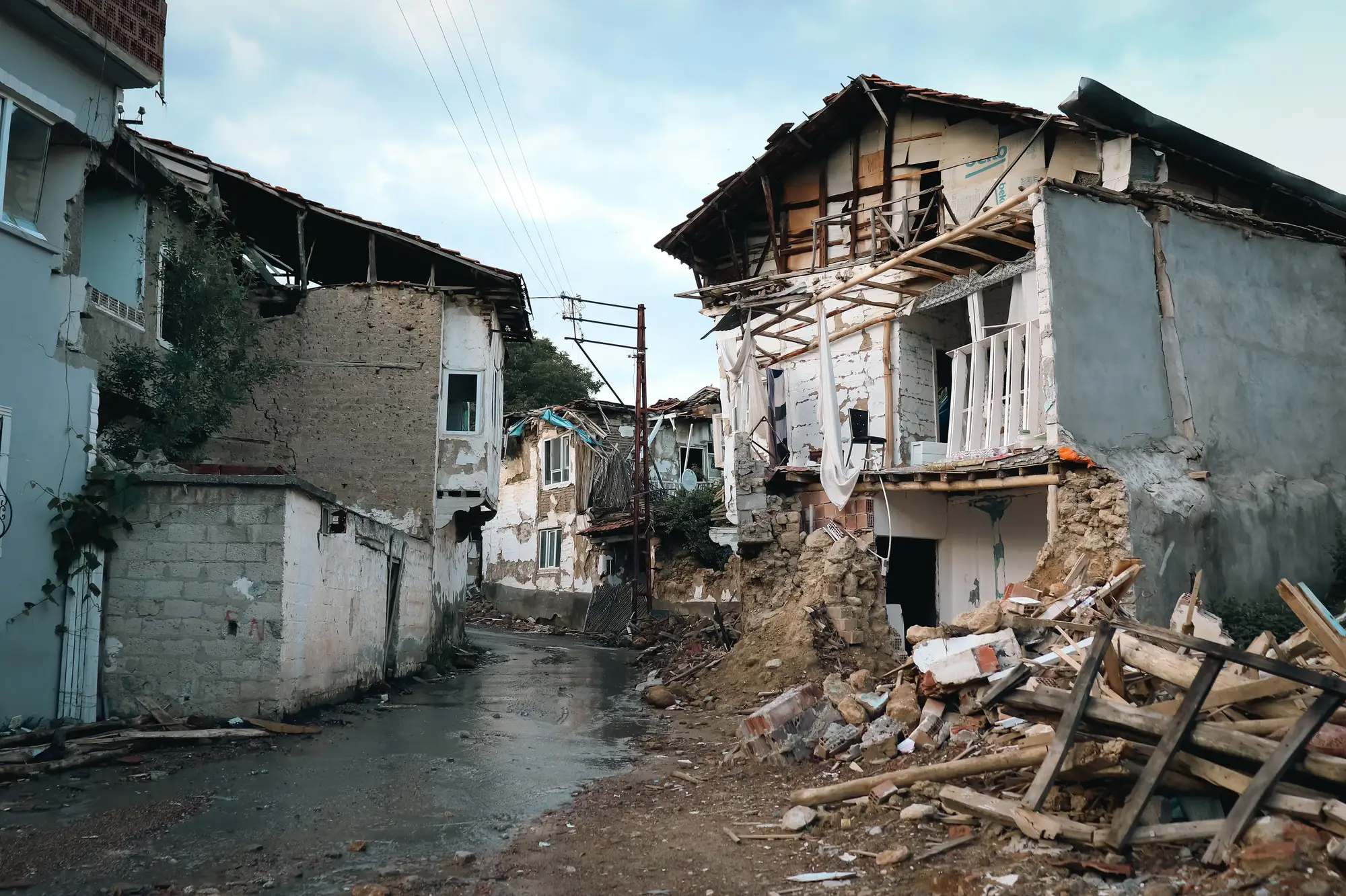 EMS-98 vs HAZUS: which damage scale is on your map?
EMS-98 grades 1-5 vs HAZUS damage states: what each scale measures, and how to read the legend before you dispatch search teams.
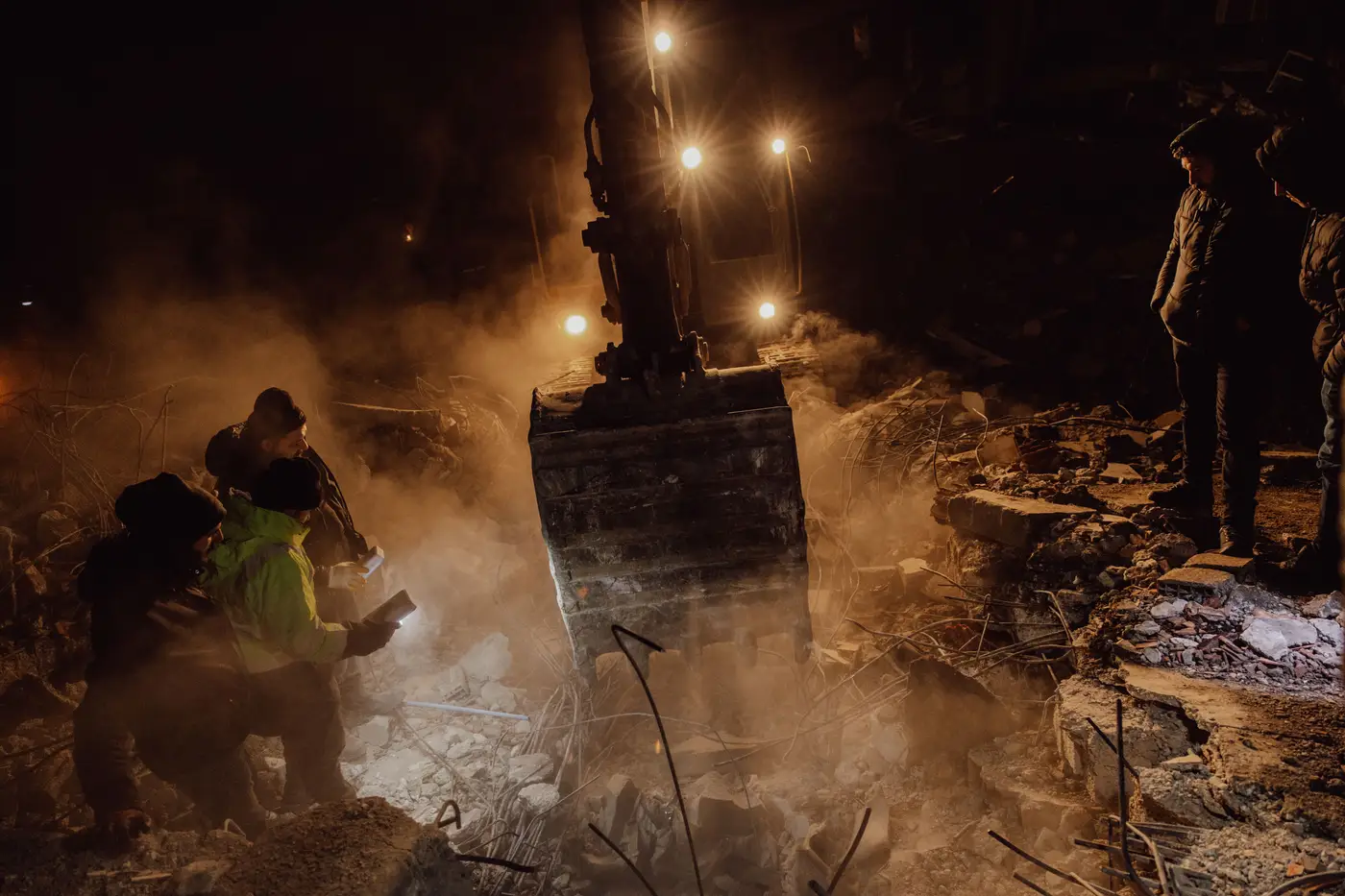 X-code marking vs. building damage grade: what's the difference?
USAR X-code spray marks tell you what a team found inside a structure. A damage grade tells you which structure to send them to first.
 Field notes: the forty minutes between the shake and the first usable pass
Why the tasking request for VHR satellite imagery needs to go out before the first situation report is even typed, not after.
- Satellite damage grades vs. windshield survey after a quake
Satellite damage grades vs. windshield survey after an earthquake: how a per-structure imagery read can sequence ground teams before they roll.
- Staging search teams: damage grades and a road check
How to pair a structure-level damage grade map with a road access check to sequence search and rescue team staging after an earthquake.
- Turning a damage grade map into a shelter site shortlist
A field workflow for EOC and SAR planners: how to filter a post-earthquake damage grade map down to a shortlist of safe shelter sites.
- Field notes: the first damage grade map lands at four in the morning
A night-shift field note on what changes in an EOC when the first per-structure damage grade pass lands after an earthquake.
- What is event-driven tasking in post-earthquake satellite imagery?
Event-driven tasking explained for EOC staff: how a satellite gets pointed at your earthquake footprint and why that's different from archive imagery.
 Pairing before and after imagery for structure-by-structure damage grading
How emergency managers pair pre-event and post-event VHR imagery to grade earthquake damage structure by structure, before sending SAR crews door to door.
- What ground sample distance means for building damage grades
GSD sets what a damage grading pass can actually see. Here's what the number means and why it matters after an earthquake.
- Turning a damage grade map into search sectors that actually work
A practical method for converting per-structure damage grades into search and rescue sector assignments after an earthquake.
- Pancake collapse vs. partial collapse in satellite imagery
How to tell pancake collapse from partial collapse in vertical VHR satellite imagery, and why the difference changes search-and-rescue triage order.
- ATC-20 placarding vs satellite damage classification: what each one tells you
How ATC-20 red/yellow/green placarding and satellite-based damage grading differ, and how they work together in the first hours after an earthquake.
- How fast can satellite imagery reach search-and-rescue teams after a quake
What determines how fast satellite imagery reaches search-and-rescue teams after an earthquake, and how tasking changes the timeline.
- Vertical vs oblique imagery for structural damage assessment
Nadir imagery vs oblique for building damage: why vertical VHR is the better base for collapse grading after an earthquake.
- What is a building damage grade scale? EMS-98, grade 1 to 5
What the EMS-98 five-grade damage scale means, how damage grade 1 to 5 is defined, and why speed matters more than precision in quake triage.