How to brief an incident commander using a building damage grade map
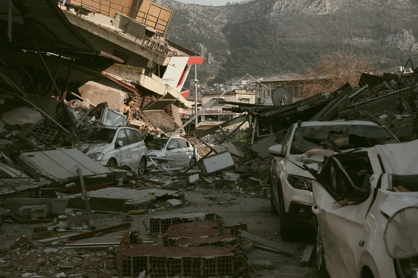
An incident commander walking into the first briefing after an earthquake wants three things, fast: where it's worst, where people might still be inside, and what that means for the next operational period's assignments. A building damage grade map answers all three when you walk it in the order the IC actually works: worst areas first, then the rest of the jurisdiction, then the tasking call.
Lead with the worst grades, then zoom out
Start with the collapsed and severely damaged structures, not with a wide shot of the whole affected area. An IC scanning a jurisdiction-wide map full of green, yellow, and red squares is going to ask where to send teams first, so answer that before they ask it. Name the clusters: the block, the facility type, the structure count. "Forty-one structures graded collapsed or near-collapse along the river district, concentrated in three blocks" tells an IC where to point a strike team. A legend with five shades of red does not.
Once the worst areas are named, widen out and show how damage is distributed across the rest of the jurisdiction. This is where the IC decides whether to hold a team in reserve or commit everything to the area you just flagged.
Turn grades into tasking, not adjectives
A grade is a classification. An IC needs a decision. Don't read grade labels aloud. Say what each band means for tonight's assignments instead.
Red clusters mean search-and-rescue with heavy equipment and a structural engineer on scene before entry. Yellow means a faster assessment pass, maybe a placard, then move on. Green means it can wait for the next operational period or go straight to shelter-in-place guidance.
Where the grades come from affects what you can tell the IC about timing. A grade map built from vertical imagery taken after the shaking stopped catches roof-level collapse and debris spread on blocks where ground access is still blocked, often hours before a windshield survey can reach the same block. Say that plainly when you brief it: this is a structure-by-structure read from imagery, graded per building, and it's dated, so the IC knows how fresh it is before betting an operational period on it.
What the IC doesn't need in the first pass
Skip the methodology. The IC doesn't need pixel resolution or imagery sourcing in minute one. If they ask how the grades were produced, have a one-sentence answer ready: overhead imagery graded per structure, no ground survey yet, then get back to tasking. Hold caveats about individual uncertain structures for the planning section, not for the first three minutes when the IC is deciding where teams go tonight.
Keep the briefing to what changed since the last operational period, where the worst concentrations sit now, and what you recommend for the next task assignments. If your EOC runs a standard SitRep template, grade counts by category, how many red, how many yellow, how many green, and how that shifted since the last pass, drop into the situation summary almost without editing.
A short script that works
"As of this morning's pass, we have a structure-by-structure grade for the affected area. Two hundred six structures are graded severe or collapsed, concentrated in the river district and the old warehouse row. We recommend committing two search teams to the river district tonight and holding the warehouse row for daylight given access constraints. Everything west of the highway reads green to yellow and can wait for the next operational period."
Grade, location, count, recommendation. The IC fills in the rest.
If your EOC is still building that briefing by hand off a damage map after every event, Building Damage Classification is built to get that structure-by-structure read in front of you right after the quake, so the briefing writes itself from the counts.