Pairing before and after imagery for structure-by-structure damage grading
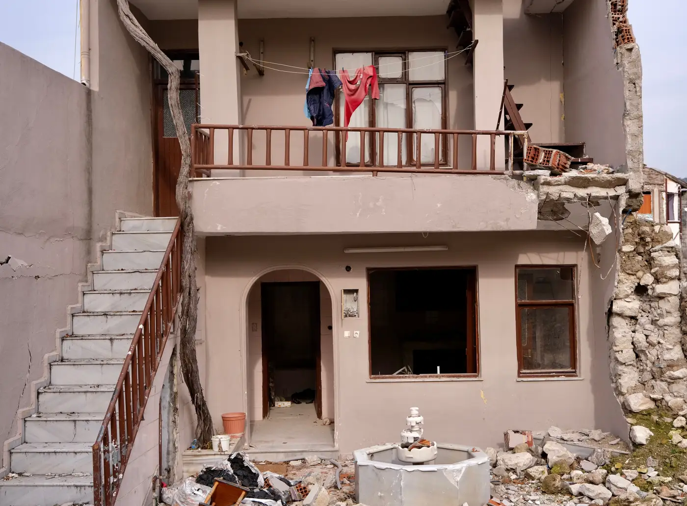
When the first post-event pass comes in, the instinct is to stare at it and start marking red dots. Don't. A single frame of rubble doesn't tell you anything on its own. The whole point of pairing pre-event and post-event imagery is that the "before" frame is your control. Without it you're guessing which gray smear was always a gray roof and which one used to be a wall.
Here's how we actually line the two up before anyone starts grading structures.
Start with a baseline that actually matches the footprint
Pull the pre-event layer first, and don't settle for whatever's cached from two years ago if something newer exists. A lot of damage calls fall apart because the "before" image is older than the last building permit in that block, a new addition or a demolished outbuilding reads as damage when it's really just construction. Check your parcel or footprint layer against the pre-event date and flag anything built or torn down in between. That's thirty minutes of work that saves you from sending a crew to a building that collapsed two years before the earthquake, metaphorically speaking.
Look angle matters more than people think. If the pre-event shot is near-nadir and the post-event collection came in at a steep off-nadir angle, shadows fall differently and facades that were visible before disappear behind their own roofline after. That alone can make an intact structure look like a partial collapse. Where you have a choice of tasking, ask for something close to the original look angle. Where you don't, note the angle difference before you start grading so you're not fooled by a shadow that's just doing its job.
Grading the pair, not the picture
Once the two frames are co-registered, the structure-by-structure read is a comparison, not an inspection. For each footprint, ask what changed: roofline, debris field, shadow pattern around the base, visible interior. A roof that's pancaked flat with debris spilling past the original footprint line is a different grade than a roof that's just lost tiles or shifted slightly. The pre-event frame is what tells you "slightly shifted" from "that's not where the roof used to be."
Watch for the three things that fake a damage signal when they're not one:
- Seasonal vegetation grown up around a structure since the pre-event capture, which can look like debris from directly overhead.
- Fresh construction or a parked line of trucks and equipment that wasn't there before, which reads as new material on the footprint.
- Cloud shadow or haze on one of the two frames that darkens a roof enough to flag it for review it doesn't need.
None of these are damage. All three show up in a first pass if you're grading off a single image instead of the pair.
Keep a simple grade scale and apply it the same way across the whole affected area, intact, minor, major, destroyed, however your jurisdiction labels the tiers. The value of a structure-by-structure read is that it's consistent from block to block. A reviewer eyeballing one neighborhood at a time tends to drift, grading stricter when they're tired or the light's bad on screen. A fixed scale applied against a matched before/after pair holds up better when you're handing the output to shelter planning or a search-and-rescue team that's never seen the raw imagery.
What this actually buys you over a ground survey
A street-by-street windshield survey gets you the same information eventually, but eventually is the problem in the first 72 hours. Pairing dated pre-event and post-event imagery gives you a structure-by-structure call for the whole affected footprint at once, so search-and-rescue teams get a prioritized list instead of a grid to drive. It won't replace a door-to-door check on the structures it flags as major or destroyed. It tells you which doors to knock on first.
If you're setting this up for the next event, Building Damage Classification delivers exactly this kind of per-structure read from VHR imagery right after an earthquake, so your team starts triage with a graded map instead of a blank grid.
Get in touch to see how a structure-by-structure read would work for your response area.