Staging search teams: damage grades and a road check
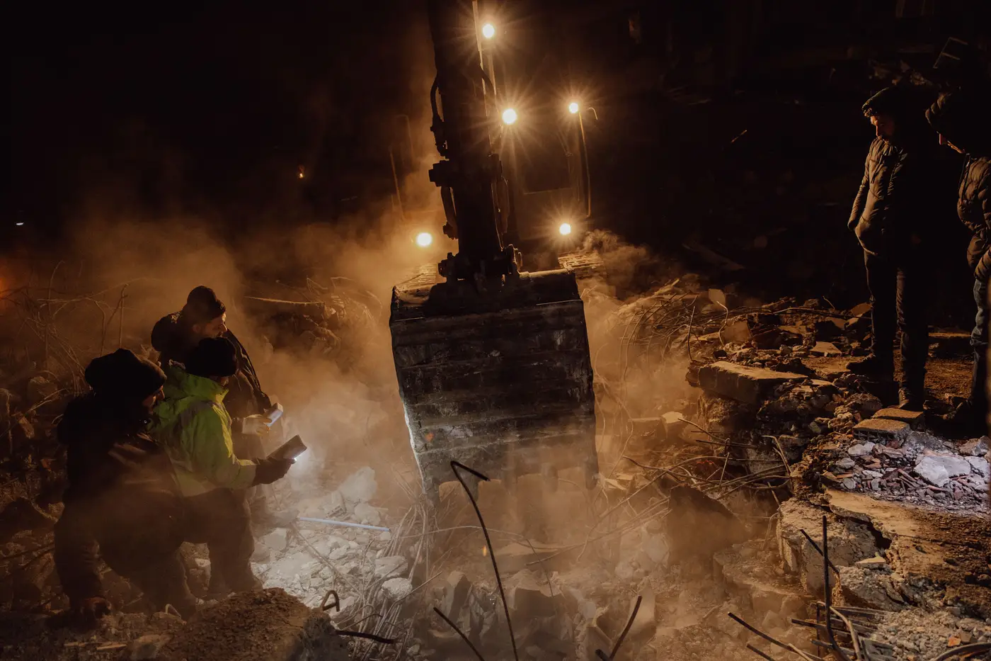
In the first hours after a damaging quake, the EOC is staging strike teams against two things it doesn't fully have yet: a real picture of which structures are hurt worst, and a real picture of which streets will get a team there. Dispatch logs and 911 call volume tell you where people are scared. They don't tell you where a building collapsed versus where it's standing with a cracked parapet. Staging off call volume alone sends your first-in teams to the loudest neighborhood, not necessarily the worst one.
The fix isn't complicated, but it does require two separate layers, read together, before you write the first tasking.
Start with the damage grade, not the 911 log
A damage grade map scores structures on a scale, usually something like intact, minor, moderate, heavy, and collapsed or near-collapsed. Done from vertical very-high-resolution imagery right after the event, it gives you a dated, structure-by-structure read across the whole affected footprint, not just the blocks where phones are ringing. That matters because the neighborhoods that go quiet aren't always the ones that are fine. Sometimes they're the ones where nobody's left standing to call.
Pull the grade map first and sort for the heavy and collapsed categories. That's your working list of structures that need eyes and hands, independent of what the call center heard. Cross-reference against known occupancy, schools, hospitals, multi-unit housing, and you've got a prioritized target list before a single boots-on-ground team has reported in.
This doesn't replace windshield survey or USAR assessment teams. It tells those teams where to go first instead of having them drive a grid pattern and find out as they go.
Check the roads before you commit the team
A damage grade without a route check is a wish list. The highest-priority collapse in your grid does nobody any good if the only road in is blocked by a pancaked parking structure or a bridge approach that dropped. Debris-blocked routes are their own hazard category after a quake, separate from building damage entirely, and they shift fast as aftershocks bring down more facades and chimneys onto streets that were clear an hour ago.
Run the road check against the same imagery pass, same timestamp if you can get it. Look for debris fields across the roadway, collapsed overpasses, and anything that narrows a two-lane street to one. Then overlay that against your grade-based target list. A structure can sit at the top of the damage scale and the bottom of your staging order at the same time, because the only approach is a half-mile of rubble that needs a dozer before an engine can get through.
Where the two layers actually tell you to go
The staging decision that holds up is the one where heavy damage and an open or quickly openable route intersect. That's where you send the first strike teams, because they can get there and they'll find work worth the trip. Heavy damage behind a blocked route moves to a second wave, flagged for debris clearance or an alternate approach, not dropped from the list. Light damage on an open road waits, full stop, no matter how many calls came in from that block.
Write the tasking in that order and you've turned two static layers into a sequencing tool instead of two separate maps someone has to mentally merge under pressure. A structure-by-structure damage grade read of the affected area, cross-checked block by block against passable routes, is what FlyPix AI's Building Damage Classification is built to hand an EOC right after the shaking stops.
One more thing worth saying plainly: this is a staging tool, not a safety clearance. Grade and access data get your teams to the right block fast. The call on whether to enter a given structure still belongs to the person standing in front of it, same as it always has.
If you're setting up your next staging protocol and want to see what a post-quake damage grade read looks like for your jurisdiction, FlyPix AI's Building Damage Classification team can walk you through it.