Turning a damage grade map into a shelter site shortlist
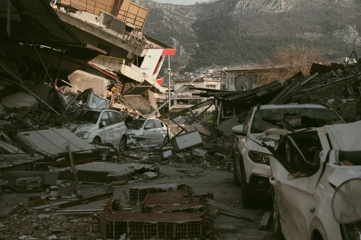
When the shaking stops and the first damage grade map lands in the EOC, the instinct is to start marking shelter sites straight off it. That's the wrong order. A grade map tells you about buildings, not about where people can safely gather in front of them. Here's the workflow that actually gets you from a stack of per-structure grades to a short, defensible list of shelter sites.
Know what the grade is actually telling you
A damage grade, pulled from ATC-20 placards, EMS-98 categories, or whatever scale your jurisdiction trains on, describes the structure itself: intact, cracked but standing, partial collapse, full collapse. It says nothing about the lot next to it, the parapet hanging over the sidewalk, or the gas line running under the block. The grade is one input among several for site selection. A green-tagged building on a block full of red tags is still a bad place to stage a shelter, because the access routes, the debris field, and the aftershock risk around it haven't gone anywhere.
This matters most in the first 48 to 72 hours, when you're working off whatever read of the affected area you have, not a finished structural survey. A dated, structure-by-structure damage grade for the whole footprint lets you filter candidate sites against actual conditions instead of guesswork and the last update from whoever happened to radio in.
Cut candidates before you rank them
Start by removing, not scoring. Pull any site:
- Inside a buffer zone around collapsed or partially collapsed structures (your jurisdiction's falling-hazard setback, commonly 1 to 1.5 times building height for parapets and unreinforced masonry).
- On a parcel flagged for liquefaction or fault rupture in your hazard overlay, regardless of the grade on the building itself.
- Reachable only by a road segment that runs past a cluster of high-grade damage, since that road is the one most likely to get blocked by follow-on collapse or utility crews.
- Co-located with a structure that took moderate damage but has unreinforced masonry, parapets, or heavy cladding overhead. A grade 2 on a building with a decorative cornice over the entrance is not a grade 2 shelter site.
This step alone usually cuts a candidate list by half before you've scored anything. It's the difference between site selection and site elimination, and elimination is faster.
Score what's left against your shelter criteria
Whatever's standing after the cut, run it against the criteria your shelter plan already has: capacity, ADA access, proximity to the affected population, utility status, and whether the building itself (not just the one next door) came through clean. Cross-reference each remaining site against its own grade and the grades of its immediate neighbors, not just the parcel boundary. A school gym can be grade 1 and still sit across a parking lot from a grade 4 apartment block whose debris field reaches the gym doors in a strong aftershock.
In GIS, query the damage grade layer directly against your pre-identified shelter site layer instead of comparing two maps by eye. That's where the layer earns its keep: it turns a visual check into a filter you can run in minutes. For a region-wide read of structural condition right after the event, a per-structure damage read drawn from the same imagery pass gives you one dated dataset to filter against instead of reconciling three partial ones.
The shortlist still needs boots on it
None of this replaces a walk-through. What it does is tell your assessment teams which five or six sites to walk first instead of which thirty. Send the team to the sites that cleared the buffer cuts and scored on capacity and access, confirm structural condition and utility status in person, and open the first ones that check out. The grade map doesn't open a shelter. It tells you where to point the people who do.
Keep the list dated and keep the source visible. If a second imagery pass comes in after an aftershock, re-run the elimination step before you trust last night's shortlist, because grades that held at hour six can change by hour thirty.
If your EOC needs that structure-by-structure read fast after the next event, that's the one thing Building Damage Classification is built to deliver.