Turning a damage grade map into search sectors that actually work
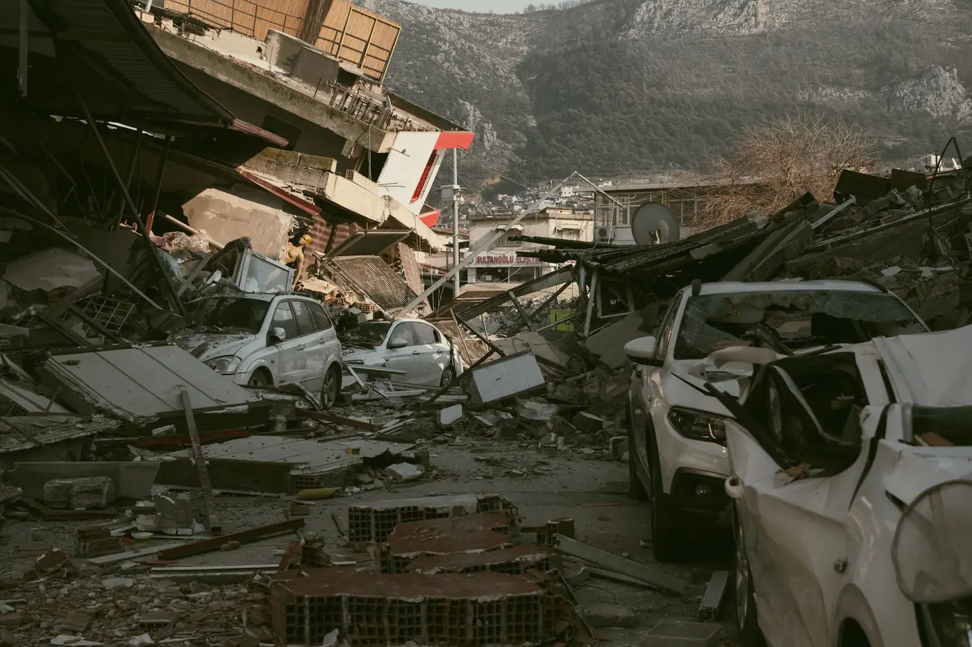
The first grid you draw after a quake decides a lot about the next 72 hours. A damage grade map gives you the raw read: which structures took a direct hit, which are standing but compromised, which are rubble. Turning that into sector assignments for USAR teams is where the actual planning starts, and it's a different job than just coloring in a map.
Start with the grid, not the grades
Most coordinators make the mistake of trying to sector around damage clusters first. Flip that. Lay your base grid over the affected footprint using what you'd use for any incident: arterial roads, natural barriers, jurisdictional lines, whatever divides the city into pieces a task force can cover in a shift. Then overlay the grade data on top of that grid, not the other way around.
Why the order matters: damage clusters are messy and irregular, and a sector boundary that follows a collapse pattern instead of a road network leaves teams without a clean way in or out. You want sectors a strike team can drive, walk, and radio out of without crossing three grid lines to report a void.
Once the grid is set, tag each cell with its grade mix. A cell with three grade-5 structures and a grade-2 street next door reads differently than a cell that's uniformly grade-3. Note that mix, not just a single dominant grade per cell, because mixed cells often need a smaller, faster team rather than a full heavy-rescue deployment.
Weight the assignment against what you have
A grade map tells you where the damage is. It doesn't tell you how many teams you've got on the ground at hour six, and that's the number that drives sector assignment. Rank your grid cells by grade severity first, then cross that against access: a grade-5 cluster behind a collapsed overpass isn't your first assignment even if it's your worst damage, because nobody's getting equipment in.
Send heavy teams to the grade-4 and grade-5 cells with road access first. Grade-3 cells near those same roads go to secondary teams working outward, since survivors in partially collapsed structures often have a longer window than the grid ranking implies. Don't let a clean sector map talk you into writing off the grade-2 and grade-3 structures just because they're not the headline damage. Staging areas go at the boundary between the worst cells and the intact road network, not in the middle of either.
If you're short on teams relative to the footprint, cut smaller sectors in the high-grade cells and larger ones in the low-grade cells. A grade-1 area can sit in a sector twice the size of a grade-5 one and still get checked on schedule.
Rework it as the picture updates
The grade map you get in the first hours after the event is the one you plan the first operational period around, but it's not the one you should still be using on day two. Aftershocks shift grades. A structure that read grade-3 at hour four can be grade-5 by hour twenty after a secondary shock, and a street that looked passable in the first read might be blocked once debris gets cleared off an adjacent lot. Pull a fresh read of the footprint with every operational period, not just when something looks obviously wrong, and re-cut sector boundaries around it.
This is also where a dated, structure-by-structure damage map earns its keep over a ground-survey-only picture: it gives you a timestamped baseline you can diff against the next pass, cell by cell, instead of relying on field reports that trickle in unevenly across the footprint. That's the core idea behind Building Damage Classification: a per-structure grade read from vertical imagery, delivered right after the event, that you can re-cut sectors against as teams move.
None of this replaces a ground truth check once a team is inside a structure. It just means the sectors you hand out at the morning briefing are built on something closer to the actual damage pattern than a street-by-street guess would get you by lunch.
If your sector maps are still running off whatever the first ground reports happened to catch, it's worth seeing what a structure-level damage grade read looks like for your next drill.