Pancake collapse vs. partial collapse in satellite imagery
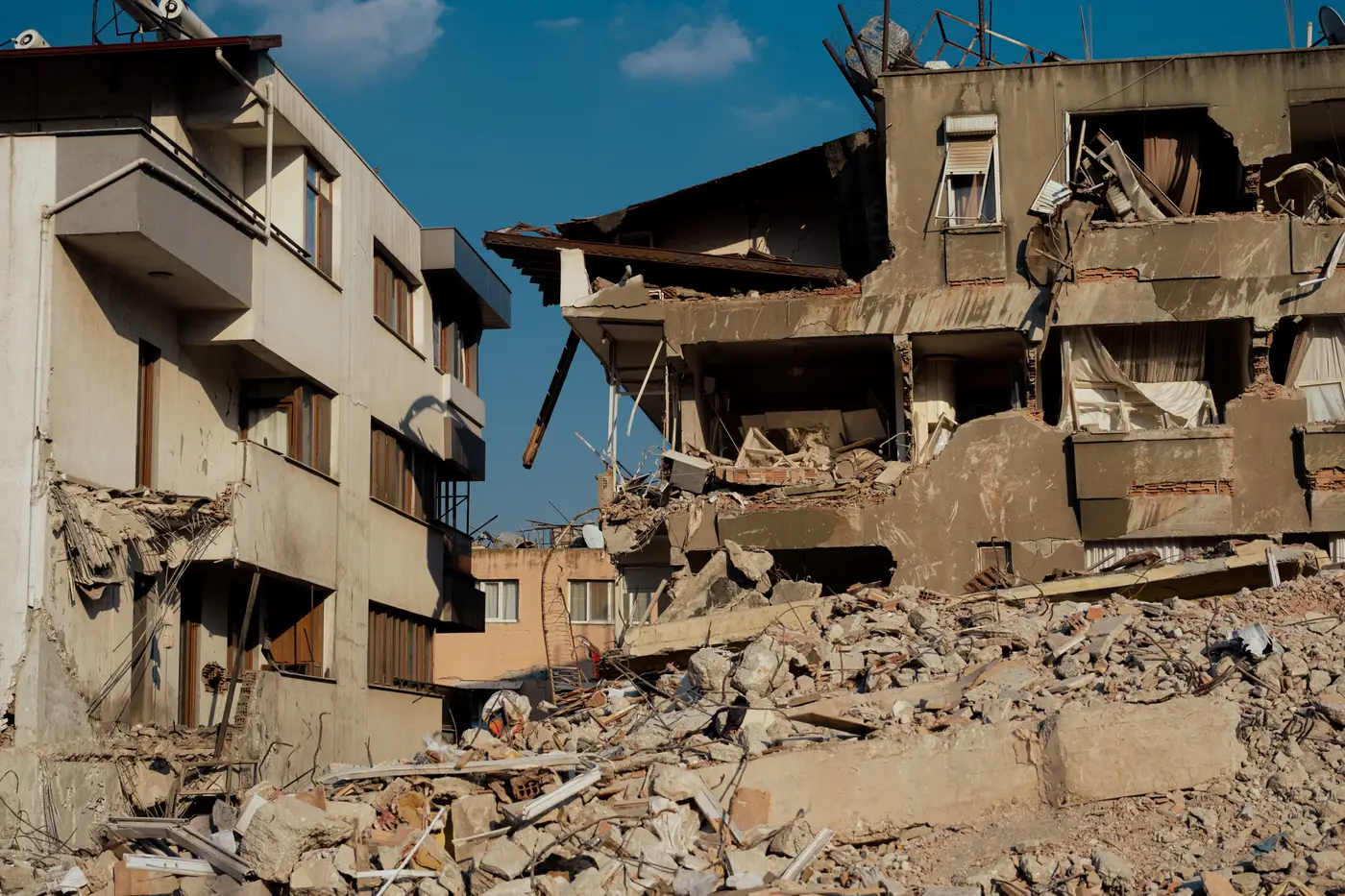
When the shaking stops and the first overhead imagery comes in, every coordinator on the net is asking the same question about every building in the footprint: how bad, and does it change who we send where. Two collapse patterns get confused constantly in those first passes, and mixing them up sends crews to the wrong rooftops.
Pancake collapse and partial collapse look similar at a glance in a blurry feed. In clean vertical VHR imagery, at 0.5 m GSD or better, they read very differently, and the difference matters for triage order.
What pancake collapse looks like from directly overhead
A pancake collapse is what happens when floor slabs fail in sequence and stack on top of each other, usually straight down into roughly the same footprint the building had standing. From nadir, the signature is a roof outline that still matches the pre-event building shape almost exactly, but the shadow reads flat. No multi-story shadow throw, no stepped roofline, just a compressed slab sitting where a five- or six-story structure used to stand.
Debris stays tight. You don't see much lateral spread past the original wall lines, because the floors didn't fall outward, they fell down. That tight, footprint-matched signature is the scary one for search planning. Pancake failures trap people in voids between slabs rather than burying them under scattered rubble, which is a different rescue problem entirely, usually a heavier one, with narrower, more technical void-search work and a tighter survival window.
What partial collapse looks like, and why it's easy to misread
Partial collapse is messier to read precisely because the building isn't uniformly down. One corner, one wing, or the top two floors of a mid-rise give way while the rest of the structure stays standing. From overhead that shows up as a broken roofline: part of the building casts its normal shadow, part of it doesn't, and there's often a visible step or gap where the standing section meets the pile.
Debris on a partial collapse tends to spill outward past the footprint on the side that failed, rather than staying contained underneath. That asymmetry, a roof that's two different heights in one image, a debris fan on one side and clean ground on the other, is the tell. It's a different hazard profile too. The portion still standing may have occupants who need extraction, but it may also be structurally compromised and unsafe to enter until someone checks it, which changes how a team stages before going in.
Where people get it wrong, and why the imagery angle matters
The most common misread happens with off-nadir or oblique imagery, where a leaning partial collapse can throw a shadow that looks like a flat pancake slab, or a genuine pancake failure can look partial because the oblique angle hides how uniform the footprint is to begin with. True vertical imagery removes most of that ambiguity. At sub-half-meter resolution shot straight down, a flat, footprint-matched slab and a broken, asymmetric roofline stop looking alike.
The other common error is reading collapse pattern off a single image without a before-shot. A roof that's genuinely flat because the building was single-story to begin with isn't a pancake collapse, it's intact. Pairing the post-event pass against a dated pre-event reference is what turns "this looks flat" into "this building failed, and failed this way."
This is the exact read Building Damage Classification is built to hand a coordinator fast: a dated, structure-by-structure grade across the affected area, from vertical VHR imagery, so you're not squinting at a single oblique photo trying to decide if that roofline is broken or just low. It won't tell you which void to search first, that's still a job for the team on the ground, but it tells you which blocks to send that team to before you've driven a single street.
If your dispatch board is still being built off whoever calls in first, a structure-level damage map built the morning after is worth a look.